
Satellite Image Map : Download 1/250,000 Ellipsoidal height version (Created 2015-)
|
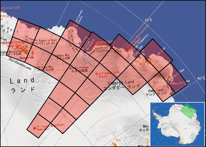
Click on the area of the map you would like to download.
|


MENU
| GSI HOME > Antarctic Geospatial Data > Products Categories > Satellite Image Map : Download 1/250,000 Ellipsoidal height version (Created 2015-) |
|
Click on the area of the map you would like to download.
|