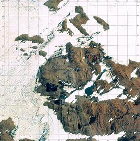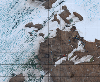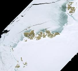


Orthophoto Map : Outline
OutlineOrthophoto Map“Orthophoto Image” is an image that color aerial photograph is converted to orthophoto and mosaic effects are added to it.
Type of Data
* Some of the map sheets display meshes based on the plane rectangular coordinate system. |