Satellite Image Map : Outline
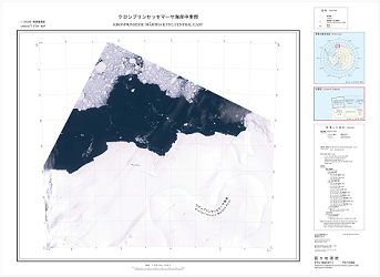
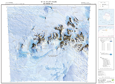
OutlineSatellite Image Map"Satellite Image Map" is an overlaid map of satellite image and topographic map. Data of these maps are converted into raster.
Type of Data
|


MENU
| GSI HOME > Antarctic Geospatial Data > Products Categories > Satellite Image Map : Outline |
OutlineSatellite Image Map"Satellite Image Map" is an overlaid map of satellite image and topographic map. Data of these maps are converted into raster.
Type of Data
|