

India and Bangladesh - Cyclone, April 2010
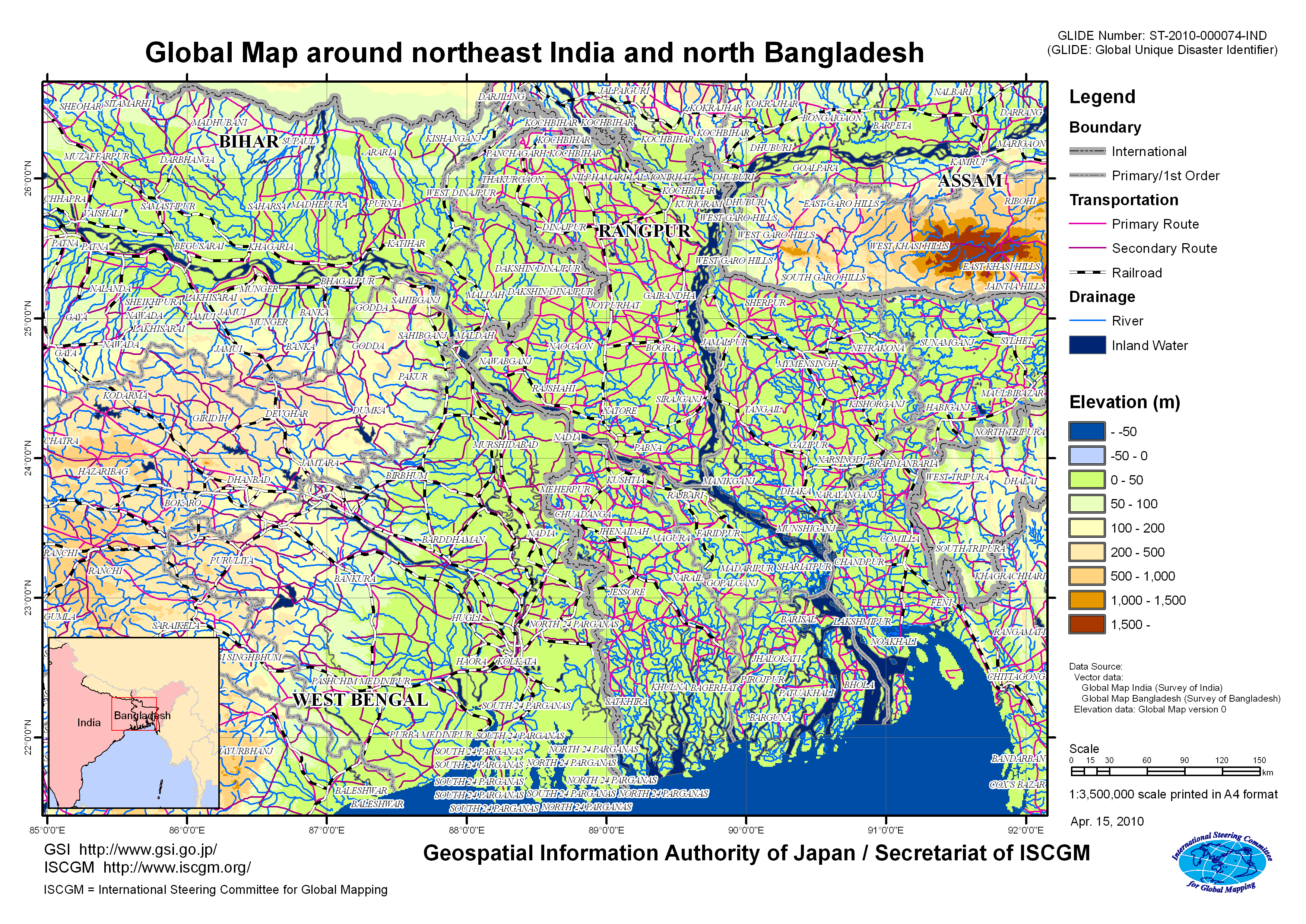
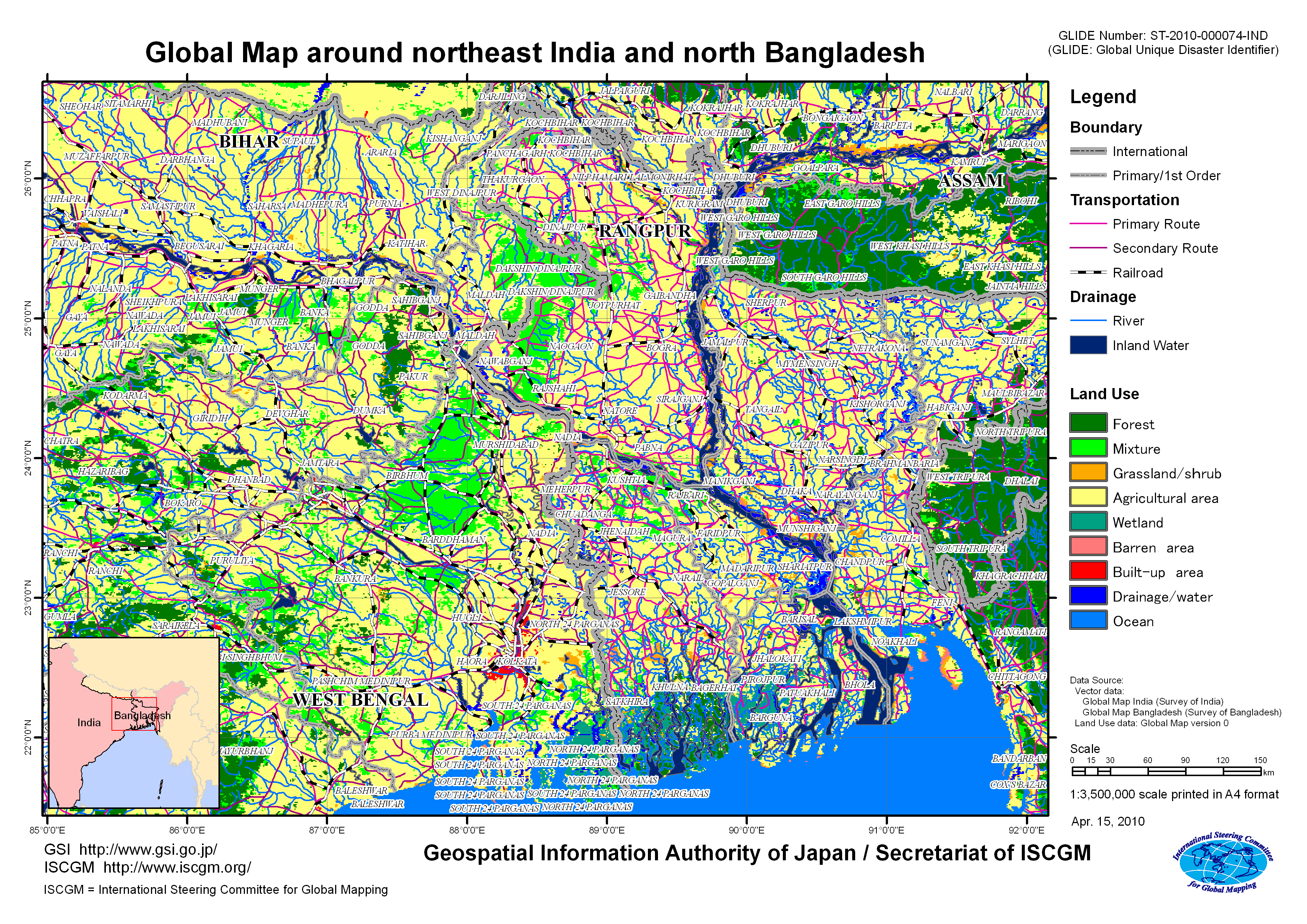
Release of "Global Map around northeast India and north Bangladesh"1. Release of the map Global Map around northeast India and north Bangladesh is released. This area was hit by a big cyclone from the night of the 13th to the morning of the 14th of April, causing a big damage. The maps provide information on landform and land use around the states of West Bengal, Bihar and Assam in India, and Rangpur in Bangladesh. 2. Use of this mapThe map is freely available for non-commercial purposes. 3. Global Mapping projectGlobal Mapping project is an endeavor advocated by the Ministry of Construction (present Ministry of Land, Infrastructure and Transport) in 1992 to develop a digital map (Global Map) covering the whole globe to accurately express the status of global environment, implemented in international cooperation of respective National Mapping Organizations (NMOs) of the world. The Global Map can be used for studying global environmental problems, etc. The Global Map data development is underway steered by the International Steering Committee for Global Mapping (ISCGM). The Geospatial Information Authority of Japan (GSI) serves as the ISCGM Secretariat which takes a central role of the project management. The GSI also provides developing countries with necessary technologies. The details of the project are shown at the following websites.
|