

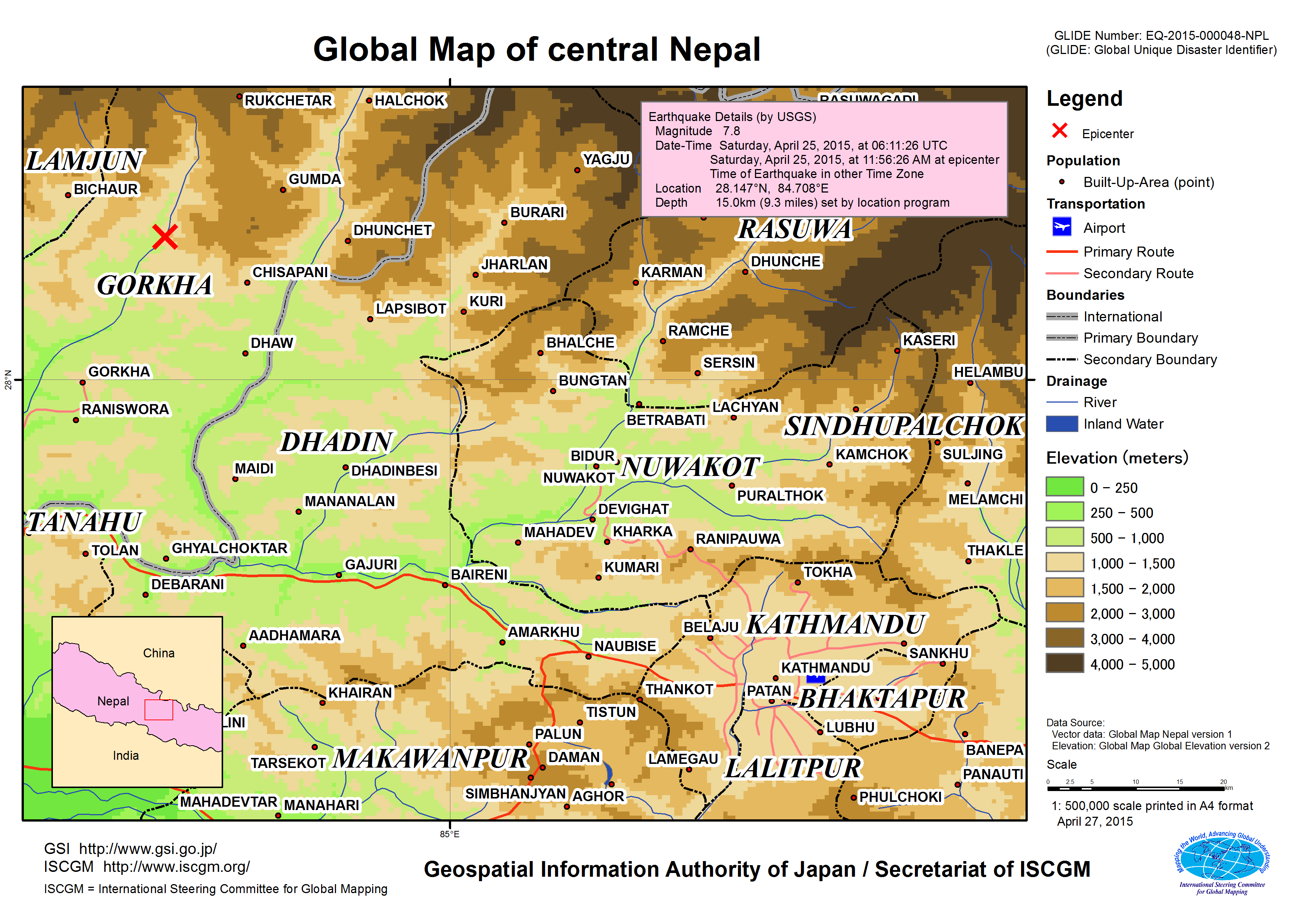
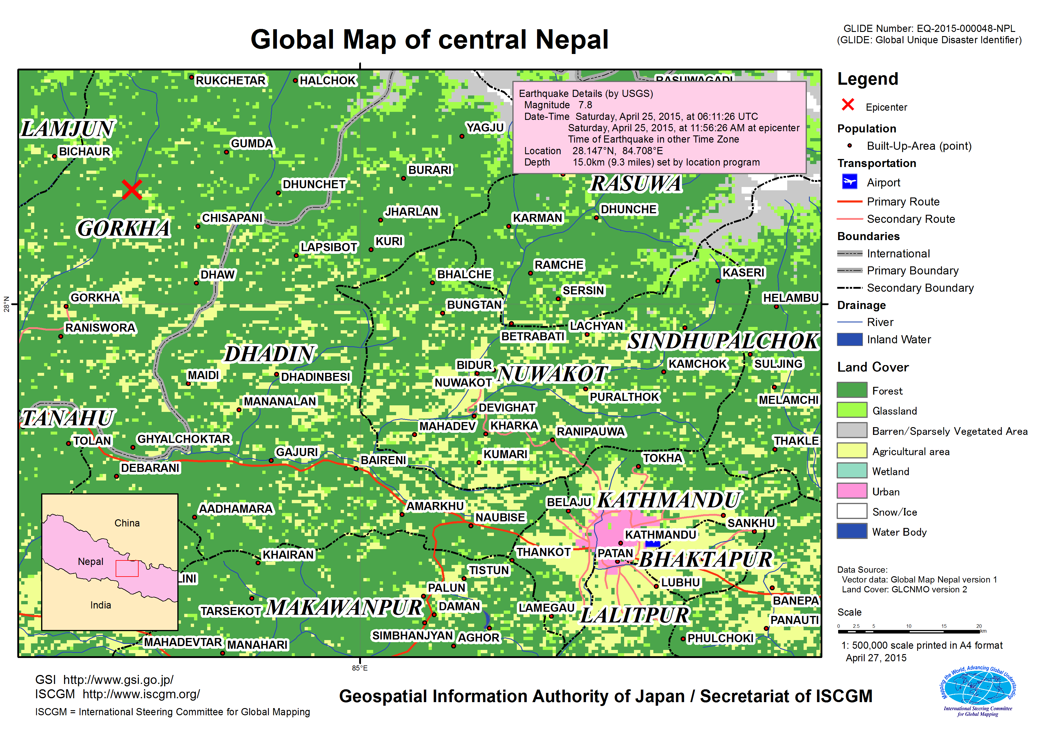
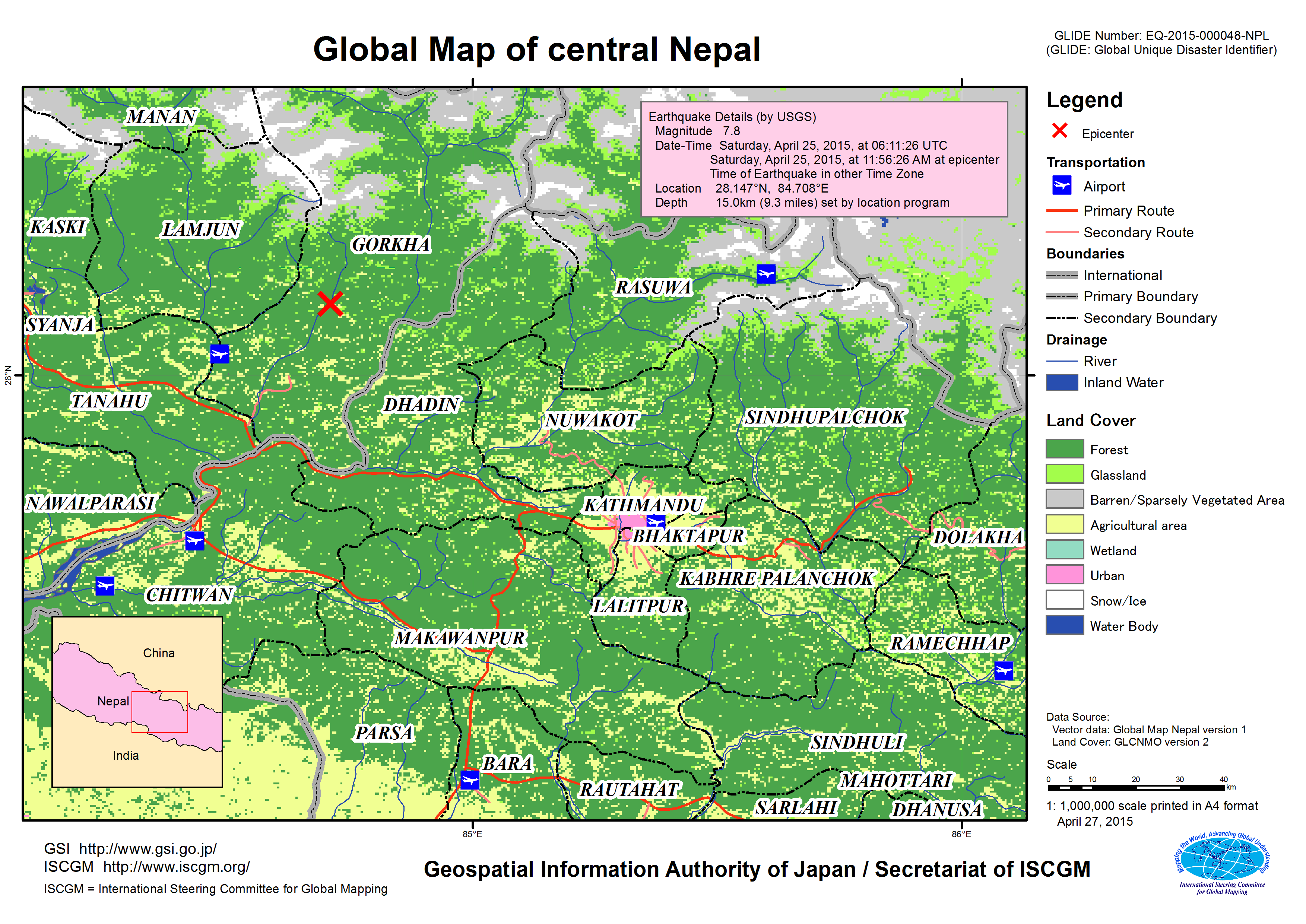
Disaster caused by the earthquake in central Nepal, April 2015
Release of “Global Map of central Nepal”1.Release of the maps The earthquake occurred on April 25th caused a big damage to central Nepal. In relation to this disaster, Global Map of central Nepal has been released. 2.Use of this mapUse the data according to the terms of use on the contents of Geospatial Information Authority of Japan (GSI).
3.Global Mapping ProjectGlobal Mapping project is an endeavor advocated by the Ministry of Construction (present Ministry of Land, Infrastructure, Transport and Tourism) in 1992 to develop a digital map (Global Map) covering the whole globe to accurately express the status of global environment, implemented in international cooperation of respective National Mapping Organizations (NMOs) of the world. The Global Map can be used for studying global environmental problems, etc.
The Global Map data development is underway steered by the International Steering Committee for Global Mapping (ISCGM). The Geospatial Information Authority of Japan (GSI) serves as the ISCGM Secretariat which takes a central role of the project management. The GSI also provides developing countries with necessary technologies. The details of the project are shown at the following website.
4.Related Link |