

Public release of aerial photographs showing disaster areas damaged from a landslide caused by heavy rain due to typhoon No.26, 2013
|
Geospatial Information Authority of Japan (GSI) took aerial photographs of the disaster-affected areas inIzu Oshima, Tokyo,wheredamaged from a landslide caused by heavy rain due to typhoon No.26, 2013.
GSI released these aerial photographsand ortho-images(that aerial photographic images are orthorectified to be overlaid on maps)to the public on GSI websitebelow. The aim of these aerial photographs is to provide important information for the following purposes:
http://www.gsi.go.jp/BOUSAI/h25-taihu26-index.html *The publicly released aerial photographs are available only on Japanese-language webpage. Photographing area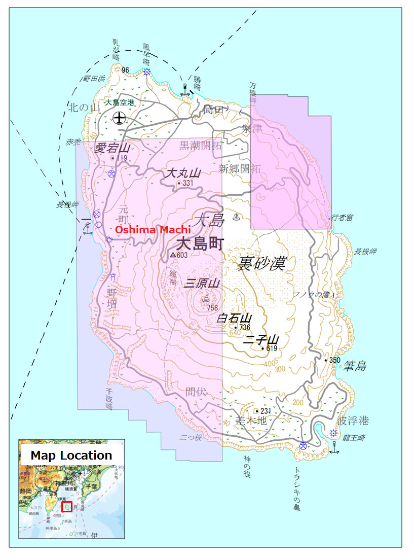
|