

Roles of sea level measurement
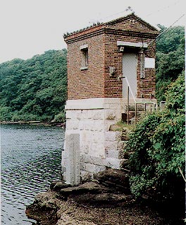
Former Aburatsubo Tide Station Sea level varies in response to the movement of the moon and the sun, wind, change of temperature, atmospheric pressure and ocean current. Measurement of the variation of the sea level is called "tide observation" and equipments for it is called "tide stations".
The datum of the height system of Japan was defined as mean sea level. To monitor the mean sea level is, therefore, the principal objective of the tide observation for Geospatial Information Authority of Japan. Continuous monitoring data of sea level can be used to detect tsunami waves and vertical crustal movement, which provide important information for disaster prevention. The long-term sea level data are also useful for research on sea level rise which is anticipated in conjunction with the global warming by combining with space geodetic techniques such as VLBI (Very Long Baseline Interferometry) and GPS (Global Positioning System). Tide stations are established by mainly considering the following points:
|