Environmental Monitoring of Japan
|
The Geospatial Information Authority of Japan (GSI) introduces the current condition of Japan using satellite remote sensing data.
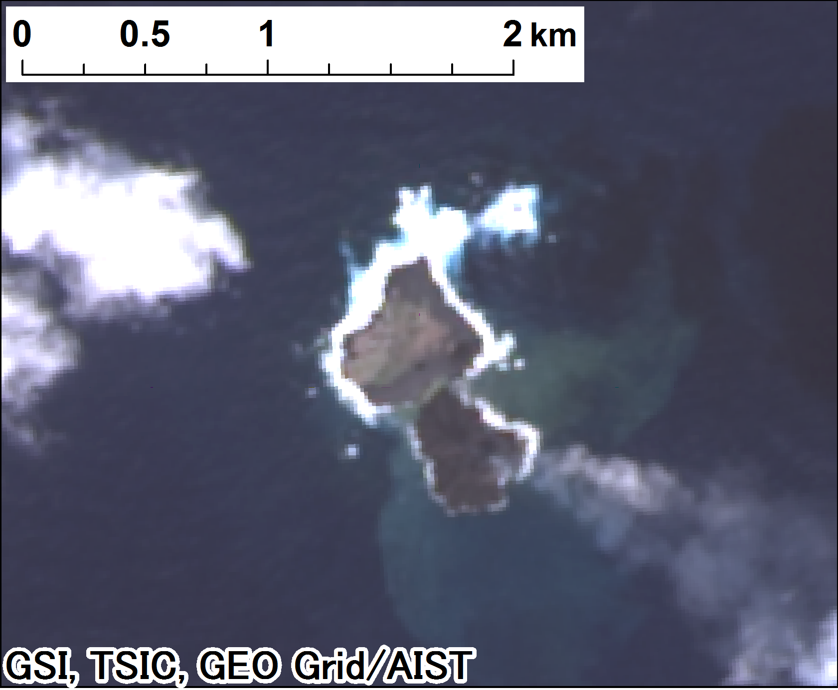
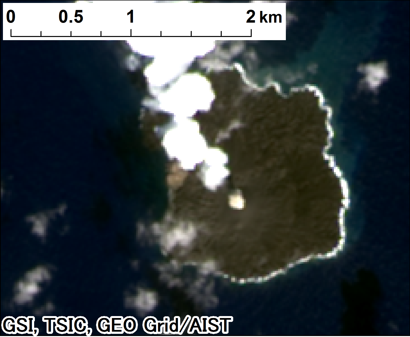
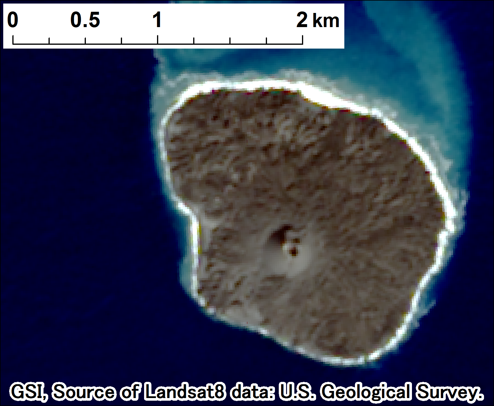
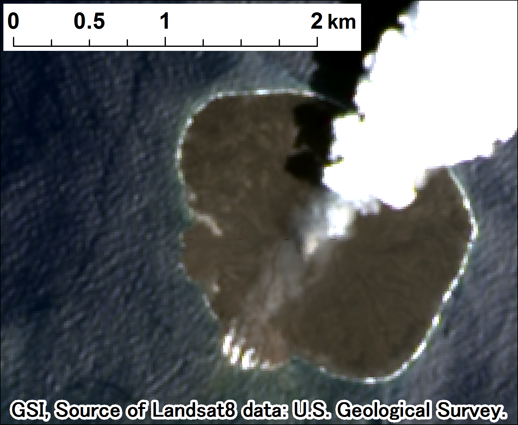
Environmental Monitoring by Landsat 8GSI monitors the land environment through Landsat 8 satellite.
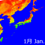
Environmental Monitoring by NOAA and MODISBased on the data of meteorological observation satellite NOAA of the United States, we are producing Normalized DifferenceVegetation Index(NDVI), which makes us understand the status of the greenness of Japan since April, 1997 to December, 2007. NOAA satellite data of the space resolution 1km(vegetation index data) shows the amount and energies of the plant.
Moreover, NDVI of the space resolution 250m is made and has been being offered from the data since April, 2004 that the MODIS sensor of Advanced Earth Observing Satellite Terra of the United States observed since March, 2007. Besides this, a large-scale natural damage and the environmental transformation are understood by using data and other satellite data of the MODIS sensor of Advanced Earth Observing Satellite Aqua Download for 1km NDVI-data [ From 1997 to 2007 ] Download for 250m NDVI Data [after 2004] 2012's 250m NDVI image
 ContactAddress for your opinions and questions:
 |