The 2018 Krakatau Eruption, Indonesia: Geomorphic change detected by ALOS-2 data
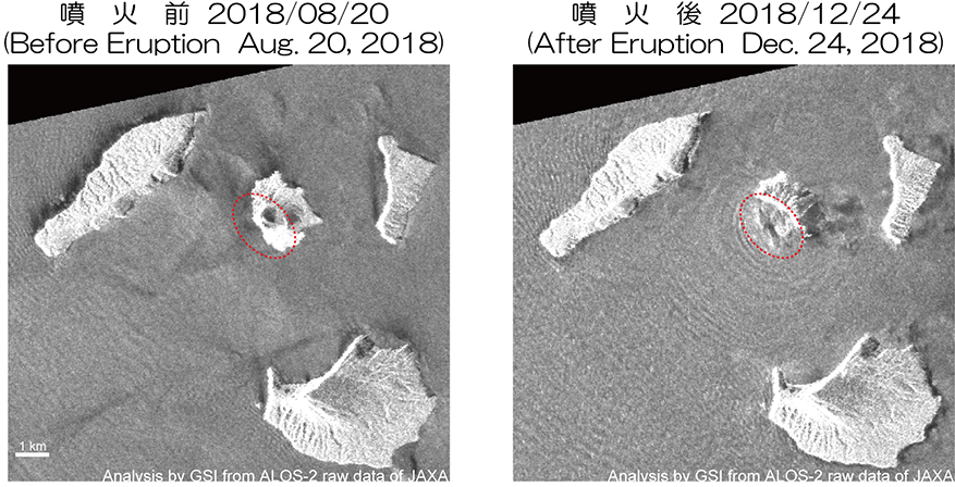
Geomorphic change observed by Synthetic Aperture Radar (SAR)SummaryThe deadly tsunami occurred in Indonesia on December 22, 2018 (UTC) was most likely triggered by a chunk of the Anak Krakatau volcano slipping into the ocean. We analyzed SAR intensity images of ALOS-2/PALSAR-2 data to identify the geomorphic change caused by the eruption.
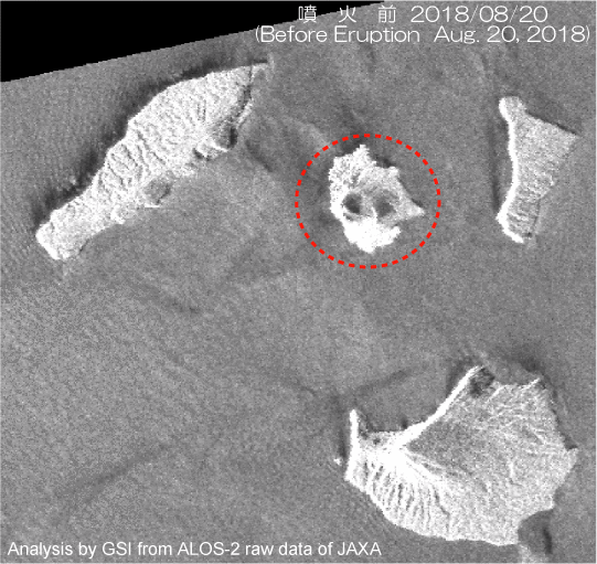
The results obtained from the data are summarized as follow. ・We can observe the clear geomorphic change in the southwestern part of the Anak Krakatau volcano. It can be estimated that approximately 2 km squares of southwestern part of the island was collapsed by December 24th at 5 pm (UTC). Results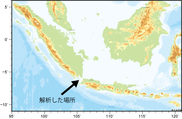 Fig. 3 Area of interest
*1 F:Fine(10 m) (cf.:ALOS-2/PALSR-2(JAXA)) Analysis by GSI from ALOS-2 data of JAXA. These results were obtained through the activity of the SAR analysis working group of Coordinating Committee for Prediction of Volcanic Eruption SatelliteALOS-2 (Advanced Land Observing Satellite 2) launched by Japan Aerospace Exploration Agency on May 24, 2014
Copyrights and CreditsCopyright (C) Geospatial Information Authority of Japan, All rights Reserved.
We welcome links from your website to this website. When using materials on this website, we ask that proper credit be given. ContactYARAI Hiroshi: Head of Division
KOBAYASHI Tomokazu: Chief Researcher 
|